GIS-E3010 - Least-Squares Methods in Geoscience L, 08.01.2019-13.02.2019
This course space end date is set to 13.02.2019 Search Courses: GIS-E3010
Topic outline
-
Content:
The course focuses on applying least-squares adjustment for geodetic and photogrammetric tasks. In geodesy, this aims at obtaining optimal results from network measurement, gravity field modelling and positioning, for example. In photogrammetry, a typical application is to solve the unknown model parameters of imaging geometries, such as interior and exterior orientation, instrument calibration, space intersection, aerial triangulation, and feature extraction.Learning outcomes:
- To understand fundamentals of least-squares adjustment, network geometry, observation equations, linearization, datums and transformations.
- To be able to program (Matlab) least-squares adjustment for photogrammetric tasks: exterior orientation, relative orientation, and space intersection.
- To understand how the least-squares adjustment is established and solved for block adjustment and camera calibration. To understand how least-squares adjustment is applied for positioning techniques (GNSS) as well as to understand observation geometry and dilution of precision in navigation cases.
- To understand least-squares collocation in gravity field modelling.
- To understand network quality, precision and reliability, variance-covariance matrix and precision criteria, statistical testing and hypotheses (chi-squared and data snooping), test significance and power, reliability metrics, redundancy, confidence areas or regions, and error seeking.
- To understand and apply Wiener-, Kalman-, particle filters, and real-time estimation in mapping platform navigation and airborne gravimetry.
- To understand the theory and application of stochastic processes.
- To understand advanced statistical techniques as applied in geosciences, like Bayesian inference and information criteria (Akaike).
Workload:
Lectures (24 h), assignments (75 h), self-study (36 h). No exam. [Info in syllabus is outdated!]
Lectures (K202):
(preliminary)-
Tue 8.1. 10-12 Introduction (Vermeer)
-
Wed 9.1. 12-14 Observation equations (Vermeer)
-
Tue 15.1. 10-12 Variance propagation, error ellipsoids and precision (Vermeer)
-
Wed 16.1. 12-14 The datum problem (Kallio)
-
Tue 22.1. 10-12 Photogrammetry: exterior and relative orientation and intersection in space (Rönnholm)
-
Wed 23.1. 12-14 Photogrammetry: bundle-block adjustment (Rönnholm)
-
Tue 29.1. 10-12 Photogrammetry: bundle-block adjustment cont'd (Rönnholm)
-
Wed 30.1. 12-14 Precision, reliability, testing (Vermeer)
-
Tue 5.1. 10-12 Precision, reliability, testing (Vermeer)
-
Wed 6.2. 12-14 Least-squares collocation, case: gravity field (Vermeer)
-
Tue 12.2. 10-12 Advanced statistical techniques (Vermeer)
-
Wed 13.2. 12-14 Solving a homegeneous eq. system / Least-squares filtering and navigation, airborne mapping (Rönnholm/Vermeer)
-
Tue 19.2. 10-12 <CANCELED>
Exercise guidance sessions (U344)
(preliminary)-
Wed 23.1. 14-16 Geodetic network adjustment
-
Wed 30.1. 14-16 Photogrammetric assignments / continued geodesy guidance
-
Wed 06.2. 14-15 Photogrammetric assignments
-
Wed 13.2. 14-16 Kalman filtering / collocation assignment / continued photogrammetry guidance
-
Wed 20.2. 14-16 Kalman filtering / collocation assignment
Assignments and deadlines:
Geodetic assignment package (DL 1.2.2019)
2. Photogrammetric assignment package (DL 15.2.2019)
3. Kalman filtering / collocation assignment set (DL 22.2.2019)
Finding U344:
The exercise guidance will be given in computer class U344, in the wing of the Undergraduate Centre (Otakaari 1) opposite the Konetalo (Otakaari 4).
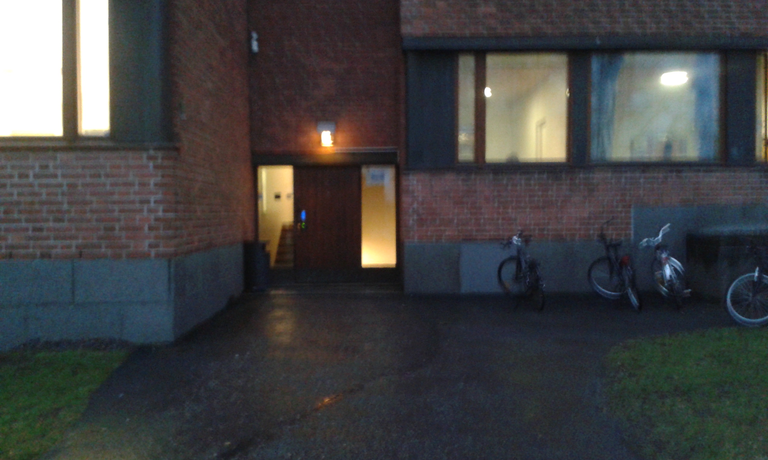
Enter this door, straight opposite the Konetalo entrance
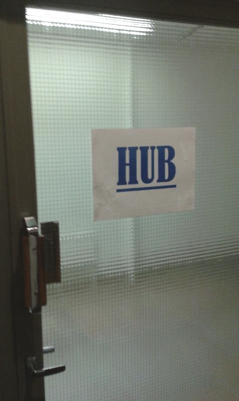
Walk to a door where it says "Hub"
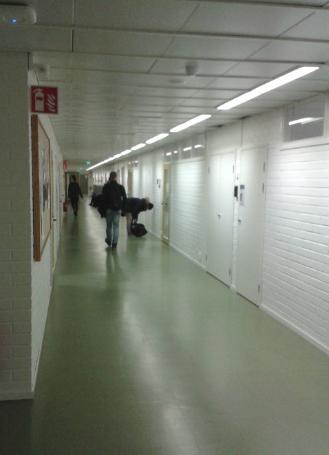
Go though, turn right, turn left, glass door, a long corridor
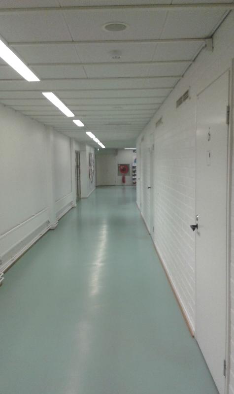
At the very end, turn left, and...
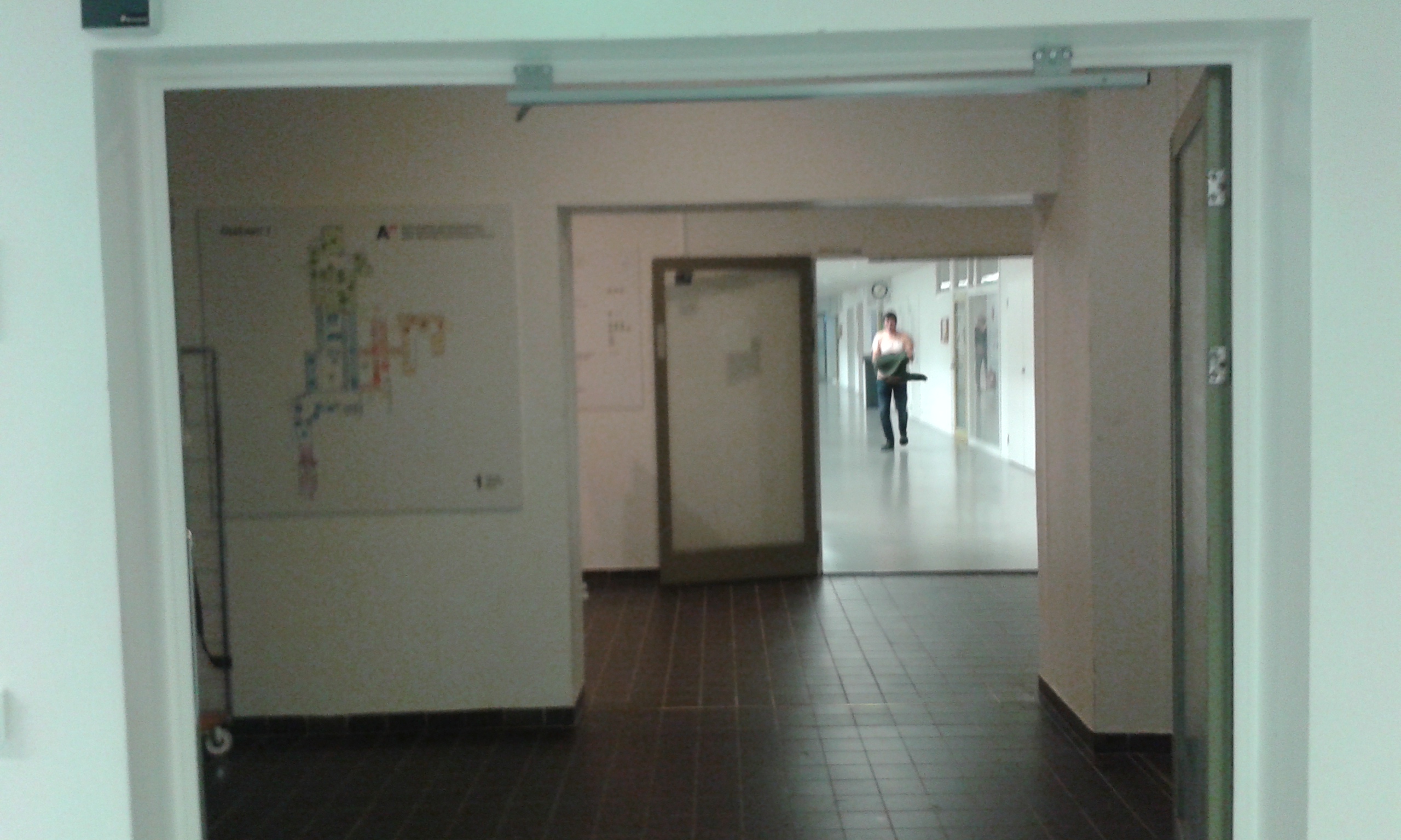
You will find a staircase (hidden on the left behind the wall carrying the map).
Go up to third floor
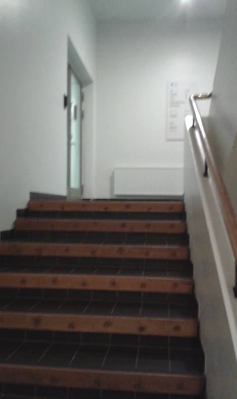
... and turn left though the glass door.
Here, on the left side, is U344.
