
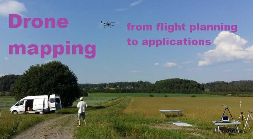
GIS-L8040 - Drone mapping: from flight planning to applications, 11.04.2019-12.04.2019
This course space end date is set to 12.04.2019 Search Courses: GIS-L8040
Topic outline
-
A special intensive course (1 cr) on drone mapping open to MSc and DSc students in geoinformatics.
Time
Thursday 11 April 2019, 12 pm - 5 pm
Friday 12 April 2019, 9 am - 5 pmTopics
Drone and sensor technology, and related legislation issues
Flight planning & flight demo
Overview of photogrammetric and radiometric processing
Applications in forestry, agriculture and urban areasCourse evaluationPre-assignment before the course (please see "Assignments" section for instructions), will be handed in in the beginning of the first lectureFull attendance in contact sessions (11-12 April) and completion of all assignments is required(No exam)Teachers
from Finnish Geospatial Research Institute: Roope Näsi, Olli Nevalainen, Raquel Alves de Oliveira
(Teacher-in-charge from Aalto ENG: Miina Rautiainen)