
GIS-E3050 - Advanced Remote Sensing D, Lecture, 19.4.2022-1.6.2022
This course space end date is set to 01.06.2022 Search Courses: GIS-E3050
Topic outline
-
THE EXAM ON 31 MAY 2022 WILL BE ORGANIZED IN ROOM 201 (OTAKAARI 4).
The course will be arranged on campus (period V, spring 2022) and it involves sessions which require on site attendance (e.g., hands-on sessions with a measurement device). It will not be a remote or hybrid course. [Updated: 1 March 2022]Prerequisite: To attend this course, you must have completed either "Photogrammetry, laser scanning and remote sensing" (GIS-E1040) or "Earth observation" (ELEC-E4510).
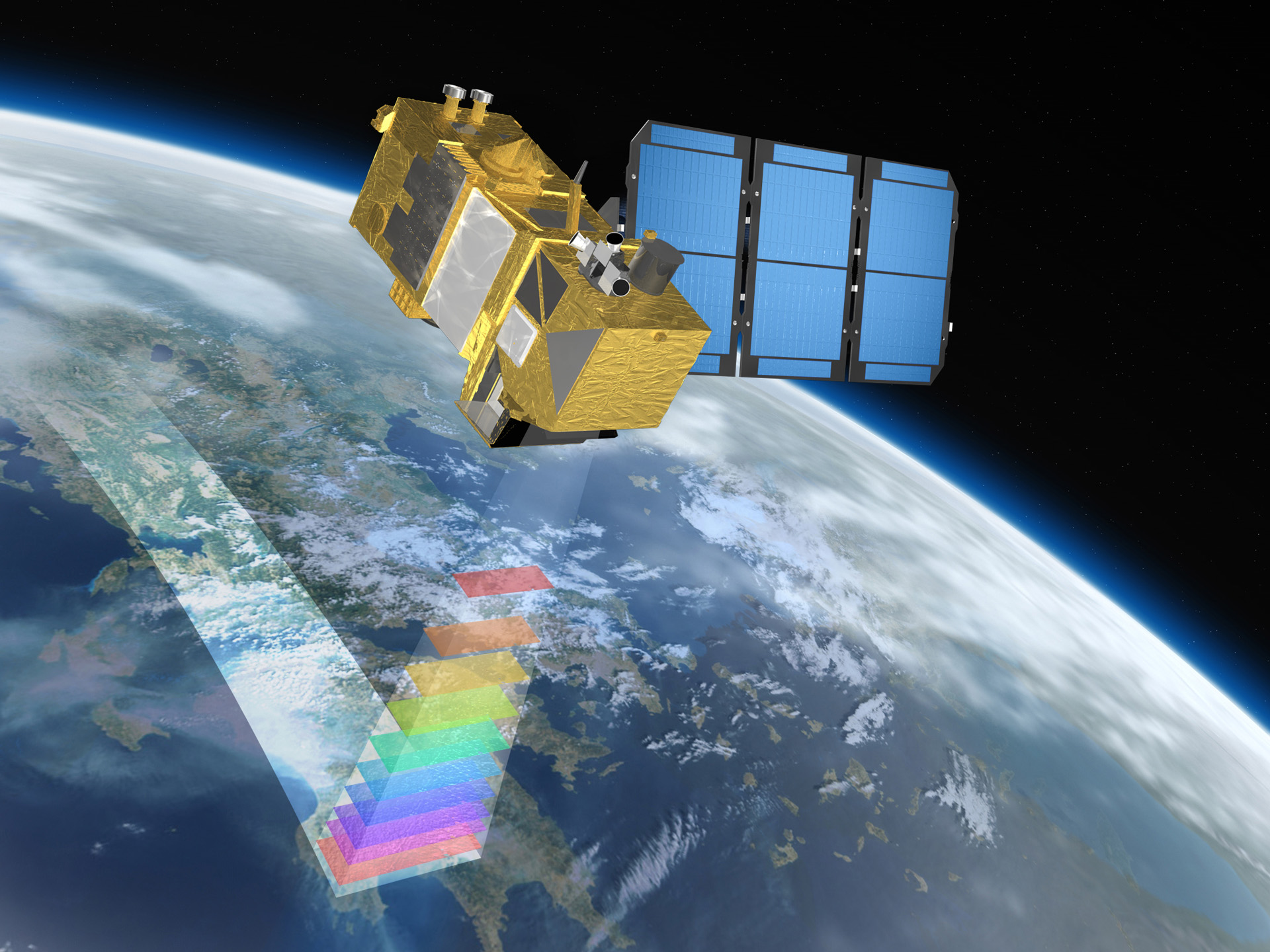
[Image credit: ESA / Astrium GmbH]
Welcome to the fascinating world of Earth observation!
Every point on the Earth is viewed from space several times per day! To make the most of this technological revolution, we must invest in know-how in handling and interpreting the massive data flow. Earth observation (EO), or the gathering of information about our planet’s physical, chemical and biological systems through the analysis electromagnetic data recorded by spaceborne and airborne instruments, is a rapidly growing discipline. In addition, most global environmental issues require global data sets which are only available through satellite instruments. The rapid expansion of the Earth observation sector urgently calls for experts who have sophisticated skills in processing and interpreting the data collected through the missions.
Teacher-in-charge: Miina Rautiainen (miina.a.rautiainen@aalto.fi)